
The land
Bluffs, bottoms, and the Brazos
The wilderness Dan Beard asked for, about 60 miles west of Fort Worth.
Chick Bend of the Brazos
Worth Ranch sits in Chick Bend of the Brazos River, about four miles north of Palo Pinto. A high, fairly level plateau, now the parade ground, overlooks steep valleys and the river bottom below. Juniper covers the slopes, limestone bluffs rise above the water, and springs feed the draws.
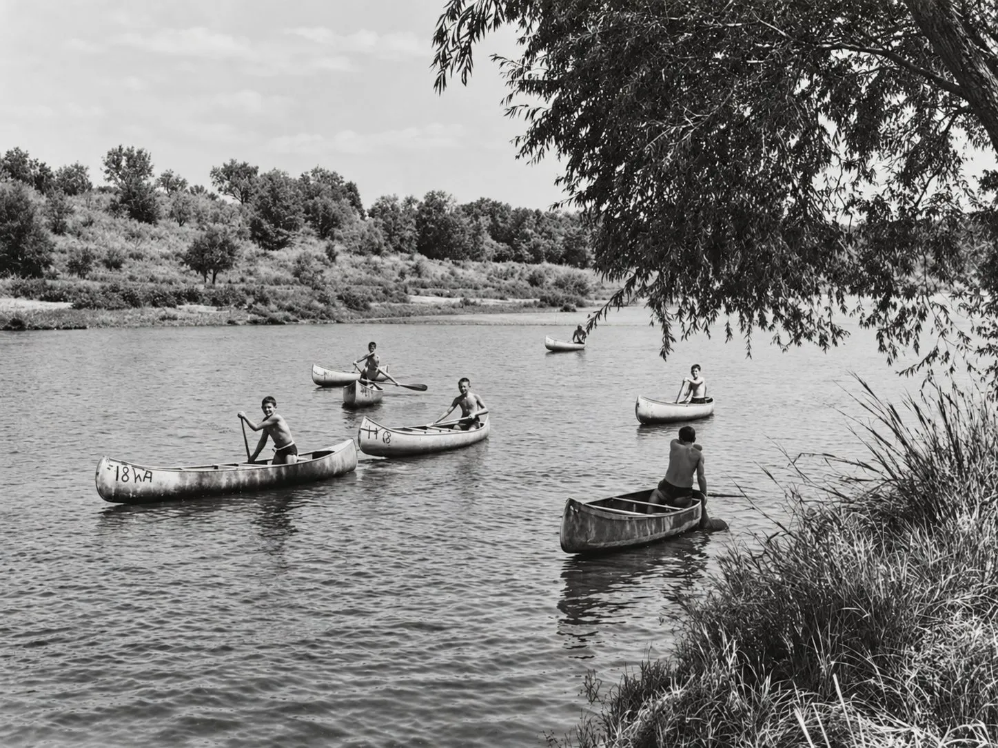
Before Morris Sheppard Dam was finished upstream around 1941, the Brazos flooded freely. Once Possum Kingdom tamed it, the bottoms could be cleared for camping, and the Palo Pinto stretch became a prime place to canoe.
Kyle Mountain
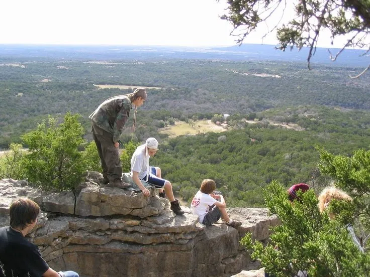
The climb up Kyle Mountain is strenuous, and the view over the Brazos valley is the reward. The 1998 purchase of the McClure farm to the east brought new ground near the mountain. Other panoramas wait at the Captain Kidd Council Ring and The Point campsite.
Landmarks
Split Rock, Hugo's Crack, the Bottoms, Hernia Hill, the Climbing Garden: names every camper learned in their first week.
Recovery ecology
Burned land needs time and care: erosion control on the slopes, habitat restoration, managing invasive species, and years of replanting and natural regrowth. As the Longhorn Council shares its plans for the land, we'll describe them here.